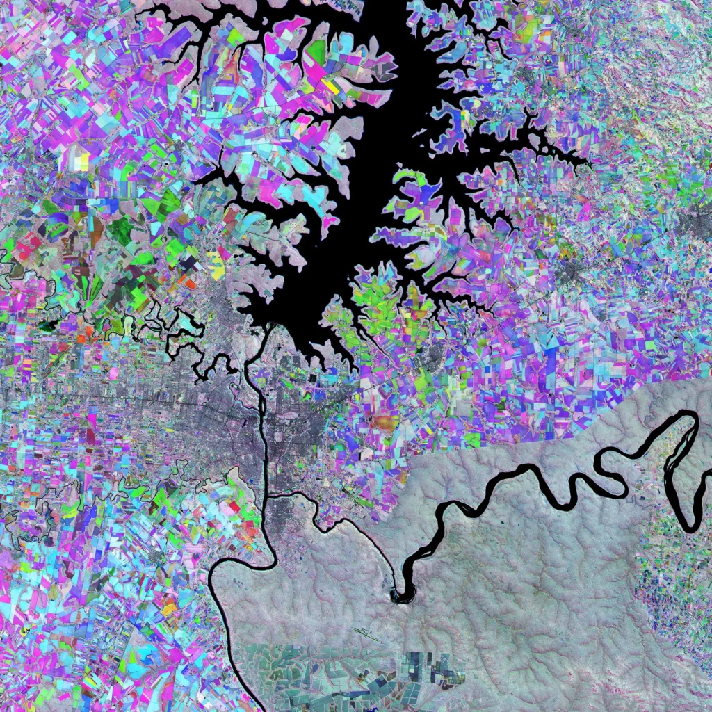
Have you ever wondered what Earth looks like from space? The awe-striking images of the Triple Frontier seen from space are something truly remarkable. This geographical area is comprised of the three bordering countries: Brazil, Argentina, and Paraguay. A multitemporal composite was created by combining three different images using the mission’s infrared channel to highlight changes between acquisitions and to monitor the vegetation growth. By using this technique, we can really appreciate the beauty of our planet from a whole other perspective. Furthermore, the Itaipú Reservoir and the confluence of the Iguaçu River into the Paraná River form natural boundaries, with Paraguay west of the Paraná River and the Iguaçu River dividing Brazil (north) from Argentina (south). In this article, we will explore Earth’s Triple Frontier as seen from space and take a closer look at how these images were created.

Exploring Earth from outer space can be an awe-striking experience for both the experienced astronaut and the regular sky-gazer. The images of the Earth’s Triple Frontier from space are a riveting reminder of our planet’s beauty and endless grandeur. As technology advances, our ability to explore and capture these mesmerizing images will only improve, bringing us ever closer to the wonders of our universe.


